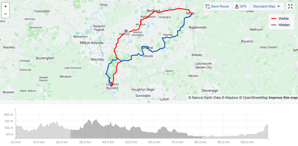
Long: 59km, 400m ascent, plus getting to the stat and finish so 100km+
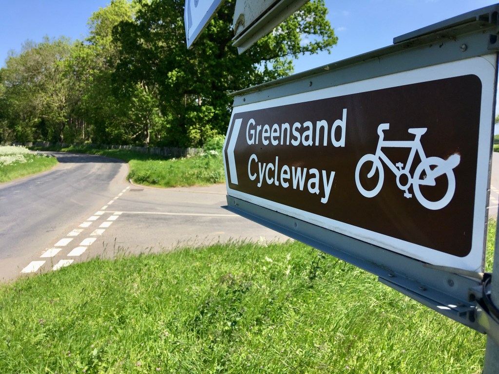
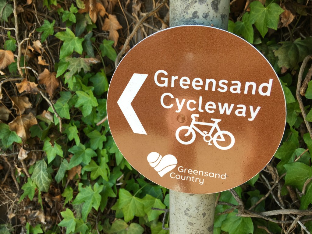
The Greensands cycle way is an official state sponsored route (it has signs). The GCW runs from Leighton Buzzard in the west to Sandy on the eastern boundary, following one of the counties most pronounced (very subtle) geological features.


At 59km this isn’t long by any means, but it’s end to end, so to make a circular route is a good day out and will be a metric 100 wherever you start and finish. Here are two gpx files (one for the route and the other suggested from Cranfield). Although it’s signed there are bits where you’d possible take a wrong turn.
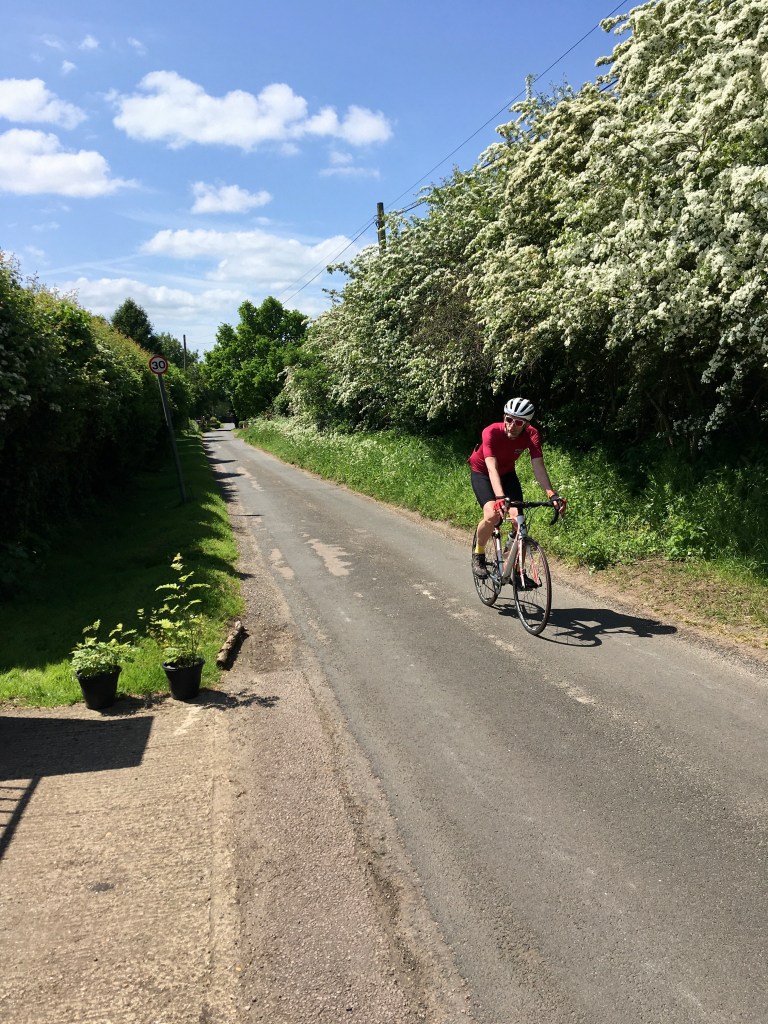
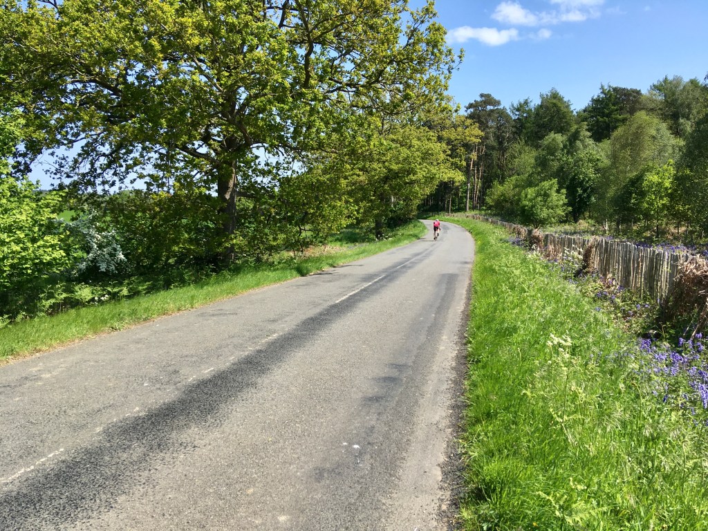
There are only two significant climbs and both are reasonable gentle gradients, so should be enjoyable, just enjoy the ride, no need to rush.
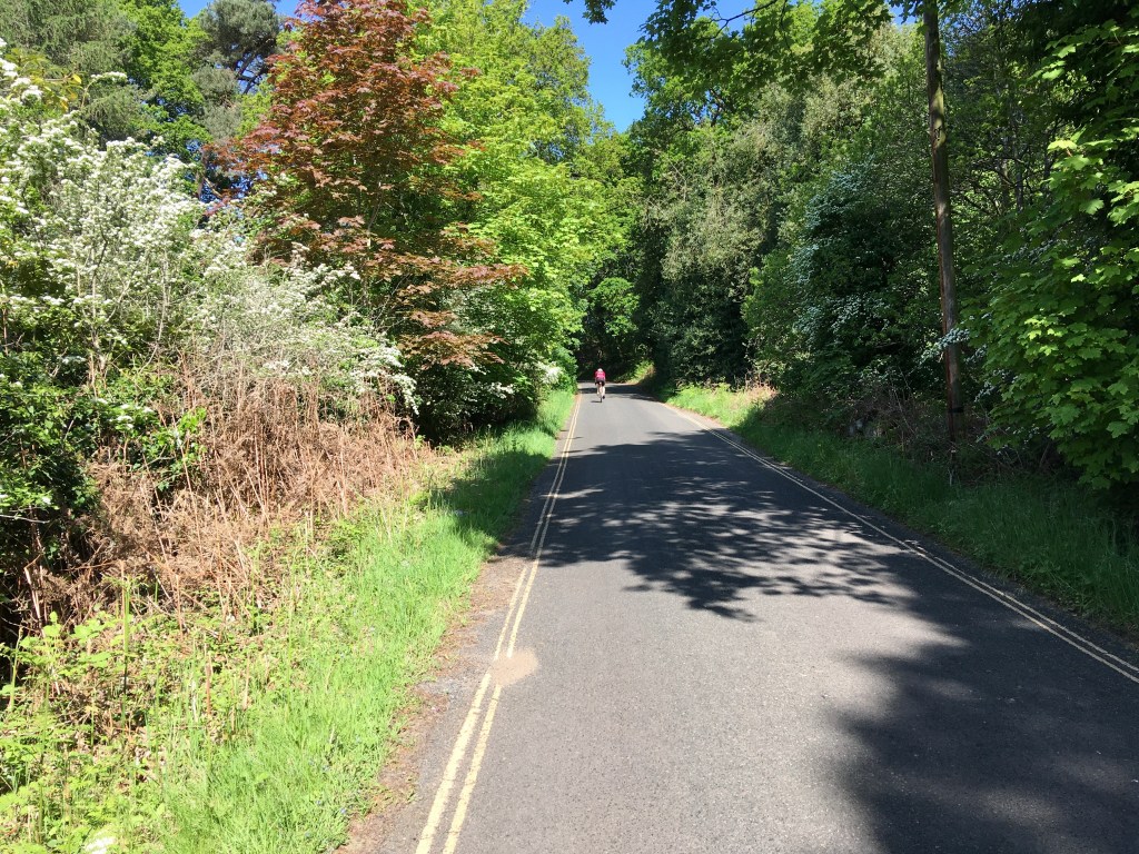
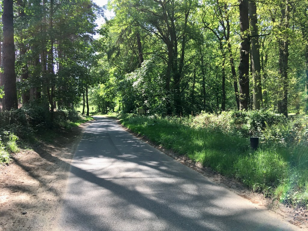
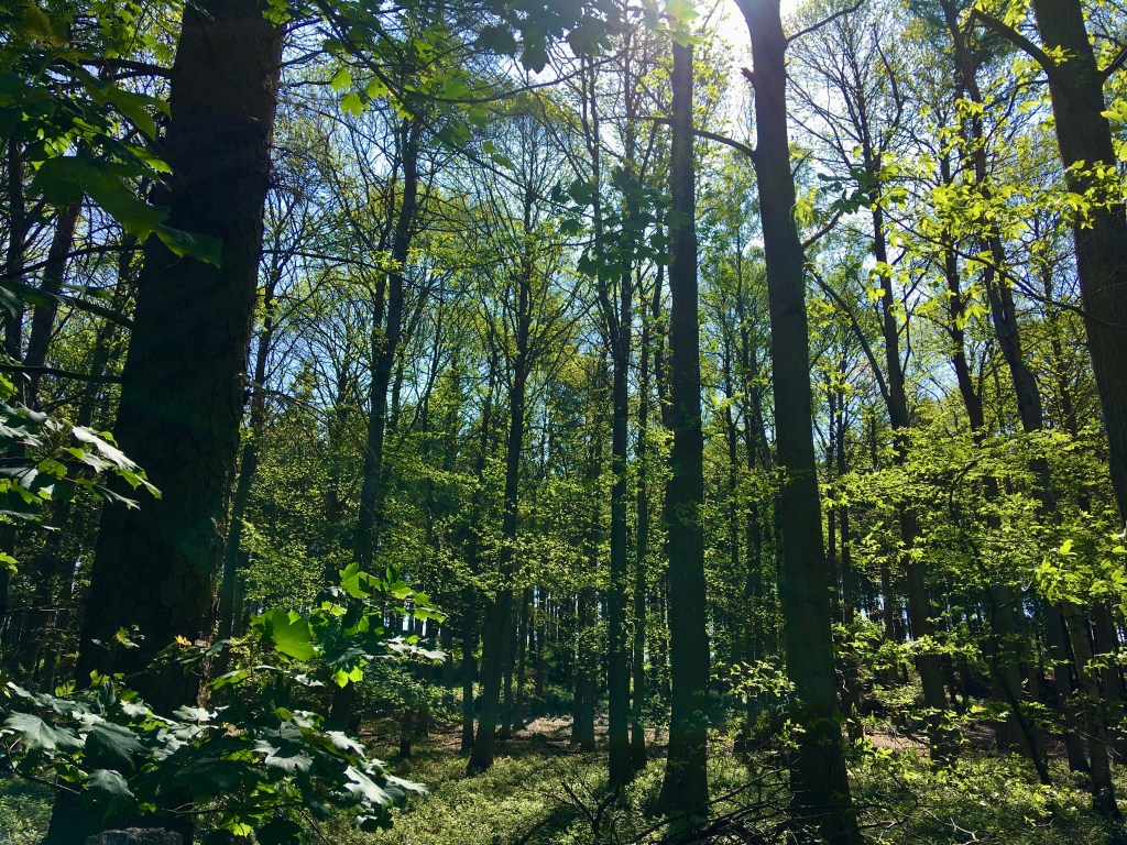
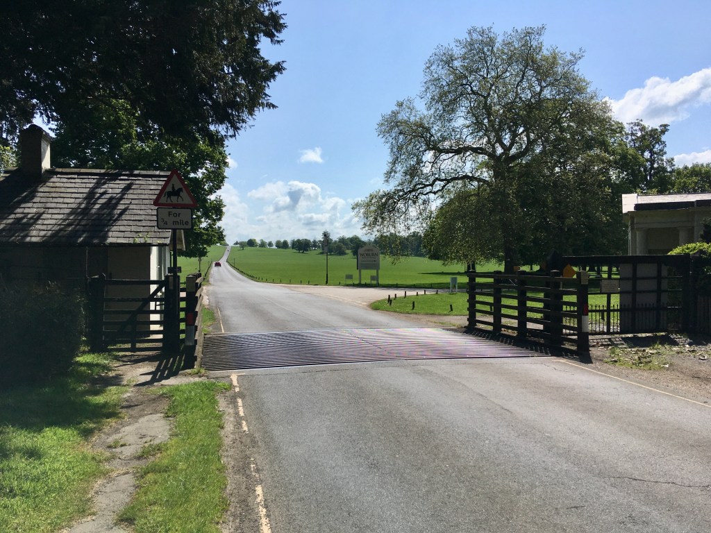
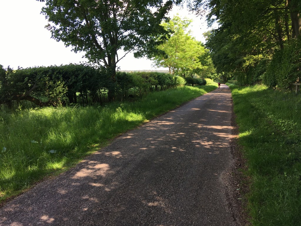
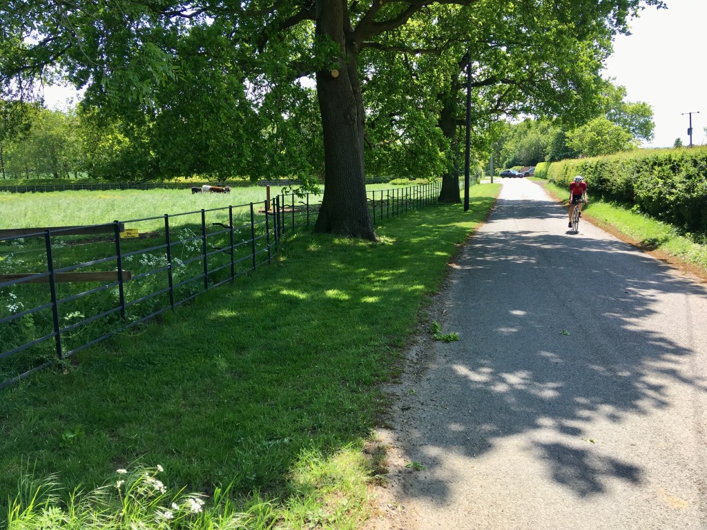
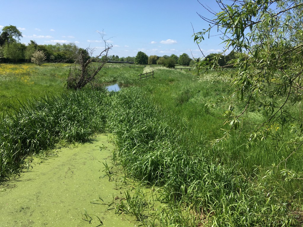
Okay, now let’s sell it to you. The roads you follow are scenic from start to finish. Even crossing the A1 motorway at the end doesn’t detract, nearly every meter of this route is lovely relaxed riding.
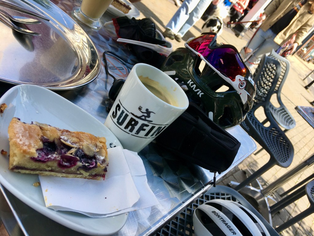
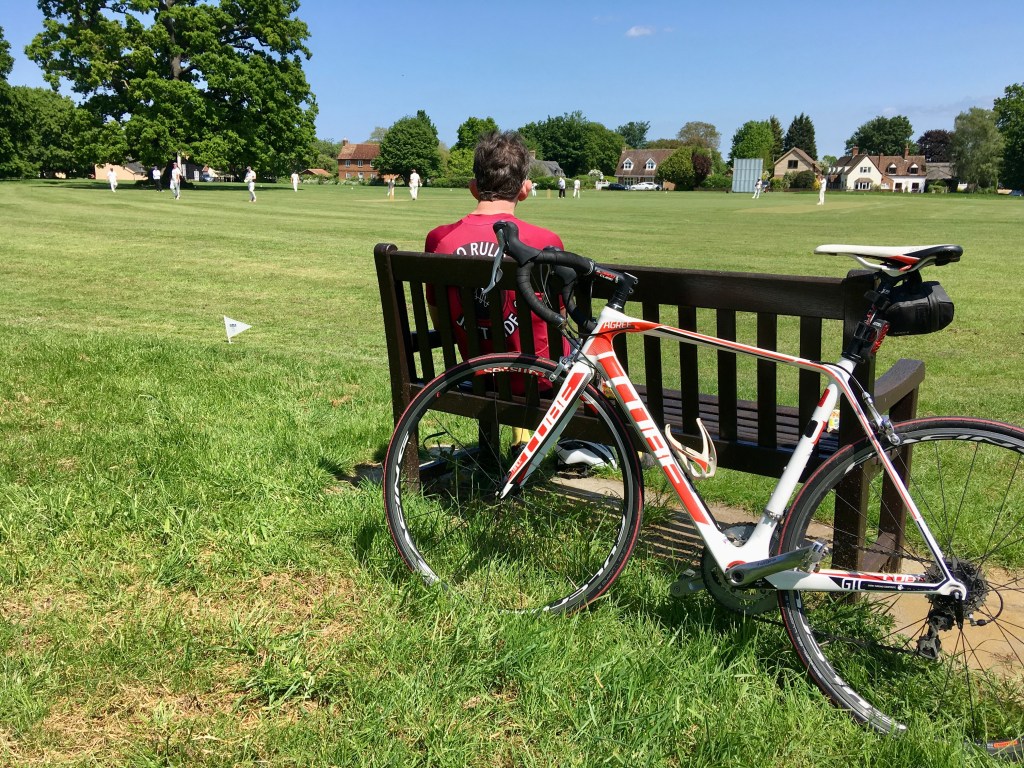
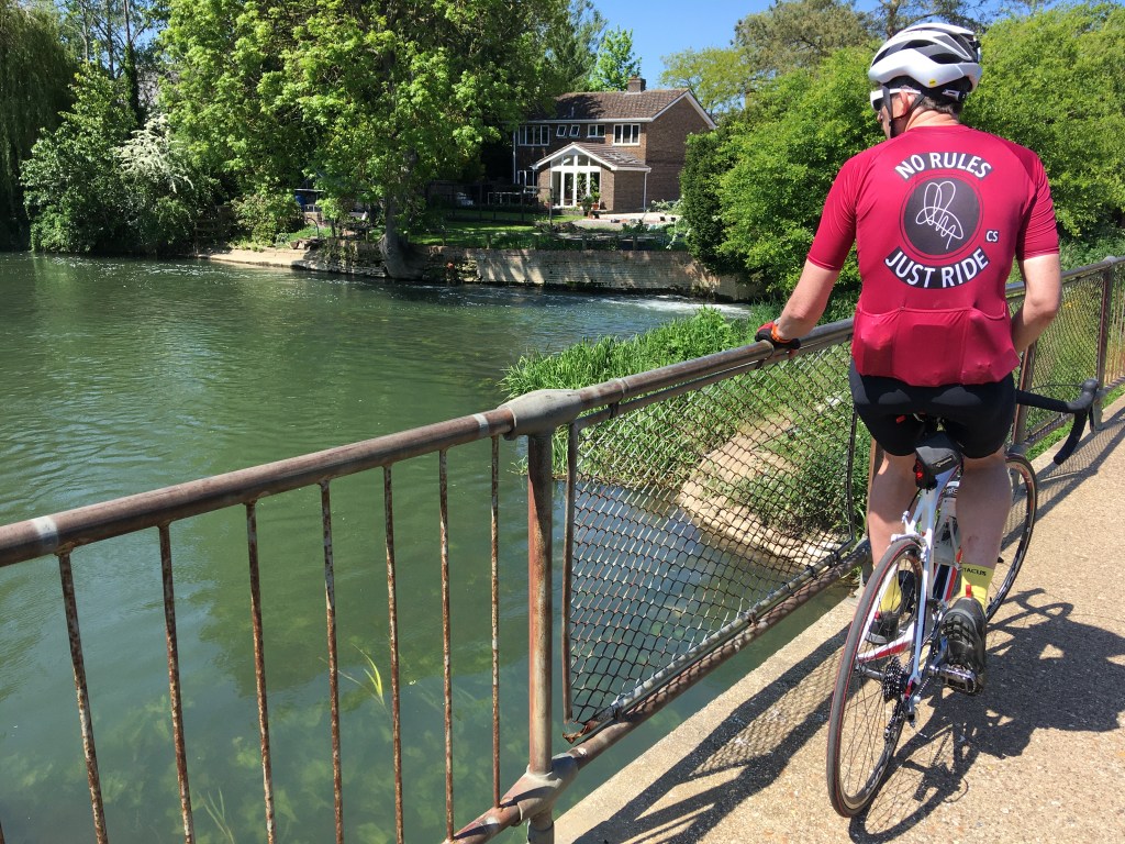
There are good cafe stops in Woburn and Ampthill, and you also pass a few very nice looking pubs.
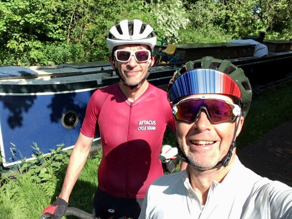
The route is largely traffic free. I used the main roads to get to Leighton Buzzard, but early on a Sunday morning they are no problems.
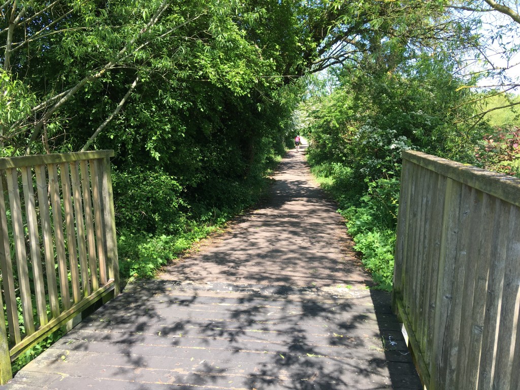
Getting back to Cranfield, you can follow the river from Sandy, all the way through Bedford, as far as Kempston if you like.
When to: In May or June, the countryside is unbeatable.
Pros: Honestly if you pick a warm sunny day, you will enjoy this as much as any ride in England.
Cons: It’s not a loop. Arguably the ride follows a lot of “best bits” but this is not to say the ride to the start and finish shouldn’t also be nice. It’s just a matter of how direct you need to be.
Sneaky Londoners, could train it out of Euston and back into Kings cross St Pancras
There are several on line references, the Central Beds council page has some PDFs which is the closest I found to a map.
There is also a variation route with some off road bits. My guess is that these would be potentially muddy, probably good on a gravel bike when it’s dry, but I wouldn’t class this as mountain bike terrain. Maybe next time I will check out the off-road.
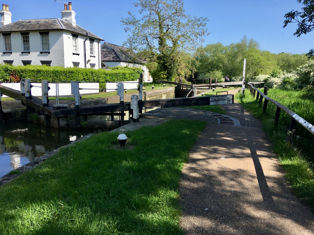
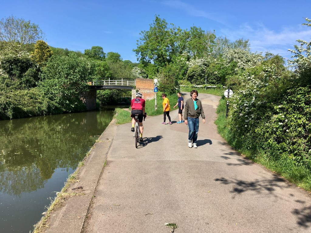
Note also that the initial section follows the Grand Union tow path. It’s fine on a road bike, but a bit bumpy, so slow and popular with walkers and fishermen. It’s very scenic and just a short bit at the start.